Overview
You can access more than 10,000 Vicmap Topographic in different formats for a range of different uses.
Our maps come in 2 formats:
You can download GeoPDFs to your mobile device using a specialised mapping app. GeoPDFs have enhanced mapping performance so you can track your location, without the need for internet. Try the Vicmap Viewer or other mapping app.
What will my map look like?
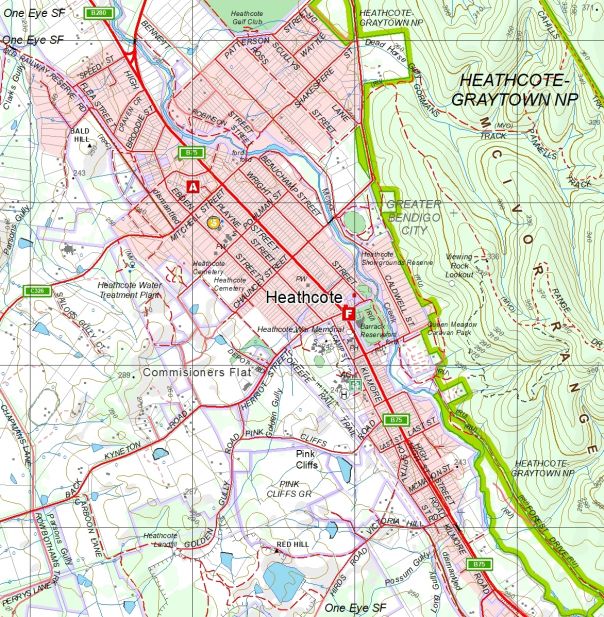
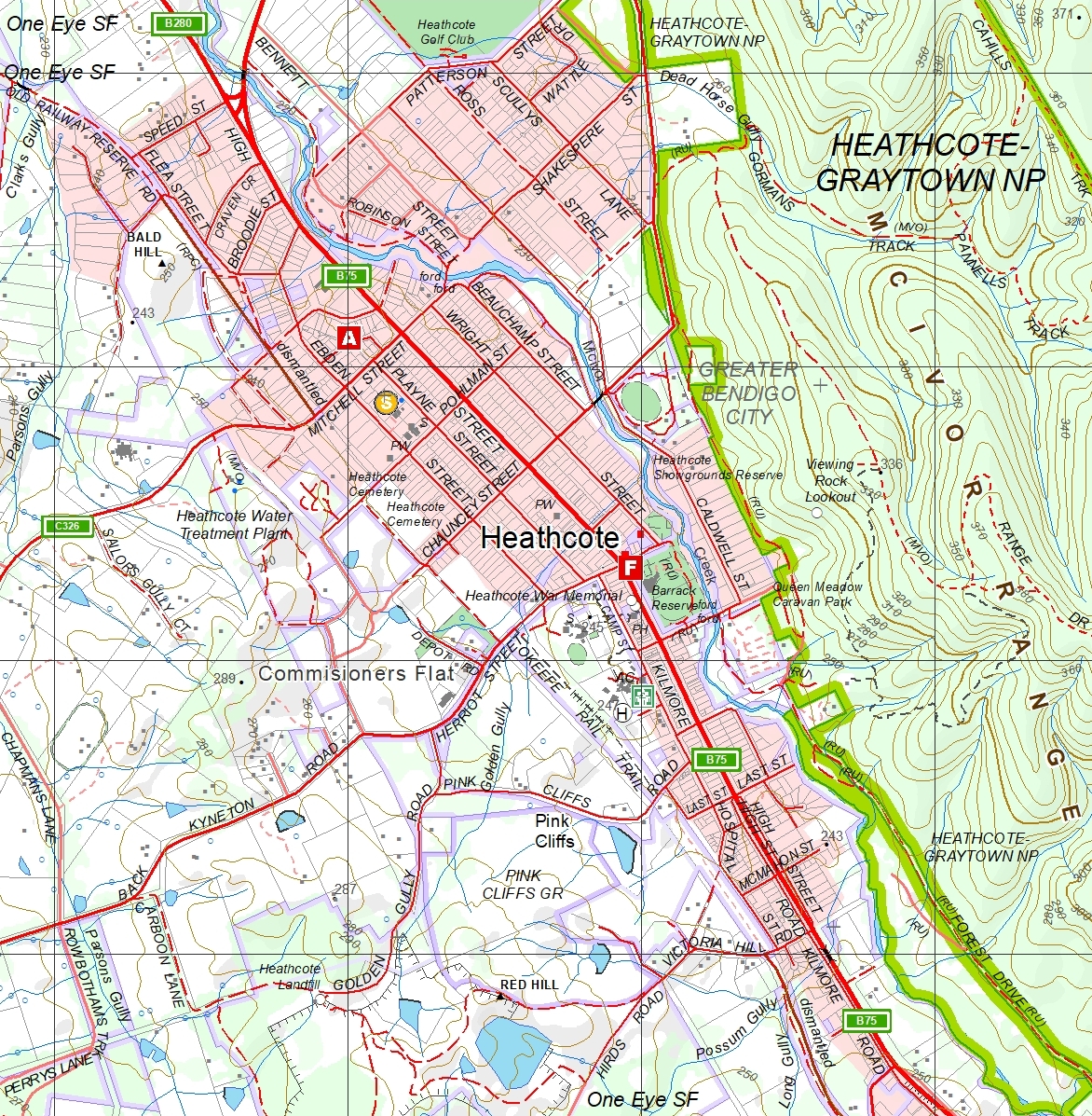
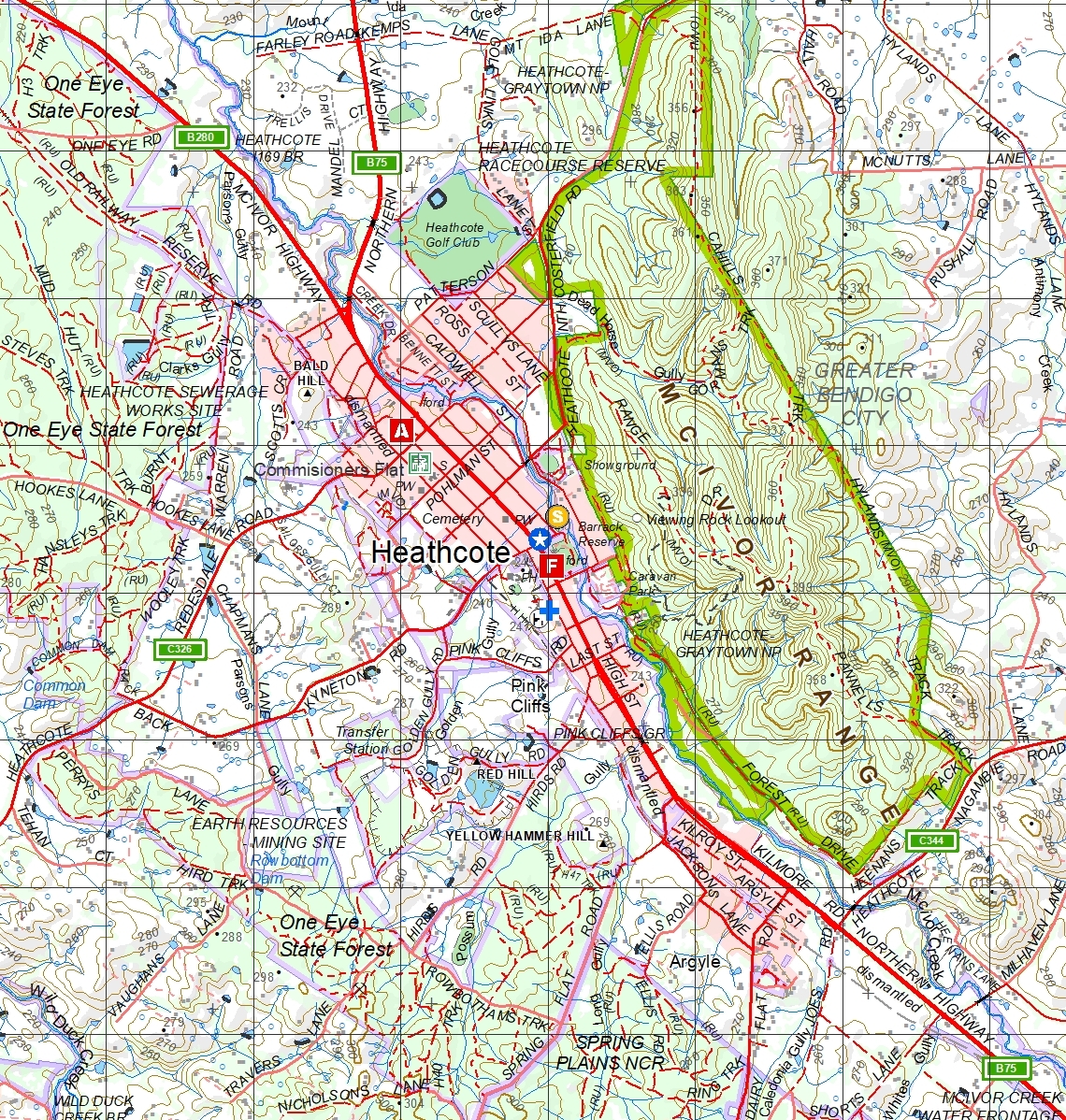
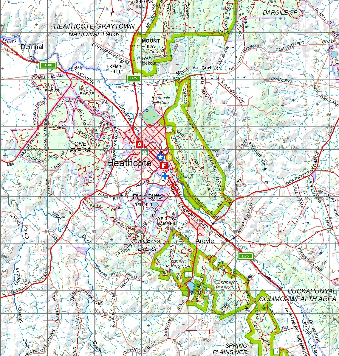
Click on the sample mapsheets to view examples of Vicmap Topographic maps.
The samples cover a range of scales and types of information:
Samples are GeoPDFs and can be downloaded onto your smartphone or tablet with Vicmap Viewer or other mapping apps.
How to choose a map
Index maps
You can refer to the two Vicmap Topographic Mapping Indices for the entire range of published digital and hardcopy maps. This includes the historic topographic map series (Hardcopy Index) and the entire suite of digital topographic maps (Digital/Hardcopy Index). Note that now all the 1:25,000, 1:50,000 and 1:100,000 maps are available as both digital and hardcopy maps.
View the Index Map:
Scales
Vicmap Topographic Maps come in a range of scales. You can select the best scale for how you plan to use the map:
- 1:25,000: for bushwalking, cycling and fossicking
- 1:30,000: shows the same information as the 1:25,000, but suited to A3 or A4 home printing
- 1:50,000: for four-wheel driving, bushwalking and camping
- 1:100,000: for long distance cycling, car touring and day trips
Further information


