
10 August 2023
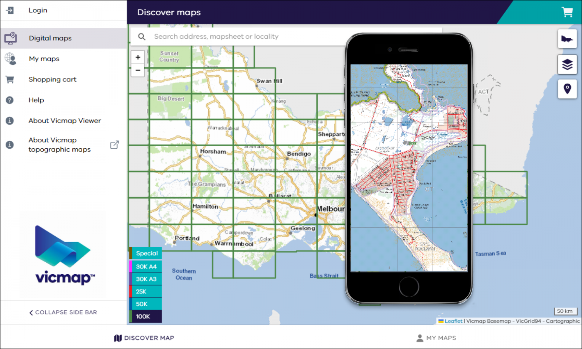
The Vicmap Viewer app has been updated and is now available via URL. This means that users can now access a more reliable and robust app with easier access to updated maps on their mobile devices. Users will benefit from new functionality, faster access to enhancements and reduced turnaround times for bug fixes.
The app makes it simple to download and view maps, both online and offline, providing users access to topographic maps anywhere, anytime.
The current Vicmap Viewer app will be retired from the Apple App and Google Play stores from 31 October 2023. Importantly, existing users will still have access to all previously downloaded maps using their login credentials.
Vicmap Viewer is a service that makes it easy to discover, purchase and download more than 10,000 Victorian topographic maps showing a range of natural and built features.
The viewer brings together authoritative Vicmap government data into the one app to support emergency services, navigation and a range of recreational activities including bushwalking and four-wheel driving.
Read more or contact the team:
Page last updated: 28/08/23